 Grand Circle South America Voyage 2019
Travel blog Jan & Mieke
Blog 9 From Ushuaia to Puerto Montt

Op de 9e februari vertrokken we uit Ushuaia en we waren rond 8 uur 's morgen bij Kaap Hoorn. De zee was hier behoorlijk ruw en het was erg frisjes. De kapitein keerde om en via een andere route gingen we weer terug naar Ushuaia. Vandaar uit voeren we, voor de tweede keer, door het Alberto Agostini National Park. We hadden deze route al gevaren toen we van Punta Arenas naar Ushuaia voeren. De doortocht eindigde de volgende dag. Op de 11e passeerden we de English Narrows en op de 12e de Chileense fjorden. We hebben vier dagen door een werkelijk schitterende omgeving gevaren, het was wel wat frisjes.
M.b.v. mijn Garmin GPS, heb ik een kaartje van de route gemaakt, zie de eerste foto.
Kaap Hoorn
Kaap Hoorn is het zuidelijkste hoofdeiland van de
Vuurlandeilanden. Het ligt op de plek waar de Atlantische oceaan en
de Stille Oceaan elkaar ontmoeten. Het Beagle Kanaal verbindt de Stille
Oceaan met de Atlantische Oceaan, het is 240 kilometer lang en op
het smalste gedeelte 5 kilometer breed. Het Alberto de Agostini National Park is 1.460.000
ha groot en het heeft een zeer onregelmatige kustlijn en heeft
fjorden en gletsjers die tot in de zee komen. De English Narrows is 18 kilometer lang en op het smalste
gedeelte slechts 180 meter breed. De
Darwin and Moraleda Canal Passages zijn doorgangen in
de Chileense fjorden.
Kaap Hoorn is ontdekt door de Nederlanders Willem Schouten en Jacob
Le Maire, die het de naam van het Nederlands plaatsje Hoorn gaven.
Het is 8 kilometers lang en de kaap is een 424 meter hoge rots van
zwarte kliffen. De zee rond Kaap Hoorn is zeer gevaarlijk, er zijn
sterke winden, sterke stromingen en soms veel ijsschotsen. Het
gebied rond de Kaap wordt ook wel een zeemanskerkhof genoemd.
Na de opening van het Panamakanaal in 1912, was er geen dringende
reden meer om deze passage te nemen om in het noorden te komen.

On the 9th February we left Ushuaia and we were at Cape Horn at 8.00 hrs. The
sea was rather rough there. We
went back to the Beagle Channel. Near Ushuaia we did
the wonderful passage of the Alberto de Agostini National Park
Coastline for the 2nd time. We had done this traverse in the reversed way on the 8th
on our way from Punta Arenas to Ushuaia. We finished this traverse on
the 10th.
We cruised the English Narrow passage on the 11th en the Chilean
fjords on the 12th of February. We sailed in a scenery of
outstanding beauty for four days. It was a little bit chilly.
I have made a map of our sailing route, with the help of my Garmin GPS. You may find it in the pictures section.
Cape Horn
Cape Horn is the southernmost island of the Tierra del Fuegeo
Archipelangelo. It marks where the Atlantic and Pacific Ocean meet.
Cape Horn was discovered by the Dutchmen Willlem Schouten and Jacob
Le Maire, who named it Kaap Hoorn, after the town of Hoorn in the
Netherlands. It is 8 kilometers long and the cape is 424 meters
high, with black cliffs. The waters around Cape Horn are dangerous,
there are strong winds, strong currents and icebergs. It is known as a sailors graveyard.
After the opening of the Panama Canal in 1912, there was no longer
an urgent need to pass this doorway to the north.
The Beagle Channel connects the Pacific and the Atlantic Oceans, it is 240 kilometers (150 miles) long and 5 kilometers (3 miles) wide on its narrowest point.
The Alberto de Agostini National Park covers 1,460,000 hectares (3,607,739 acres). The park features an irregular coastline and has a lot of fjords and glaciers of which some end in the water.
English Narrow passage is 18 kilometers (11 miles) long and on its smallest point only 180 meters wide (200 yards).
The Darwin and Moraleda Canal are passages in the Chilean fjords.
Foto's - Pictures

9 feb - 12 feb: overzicht - overview
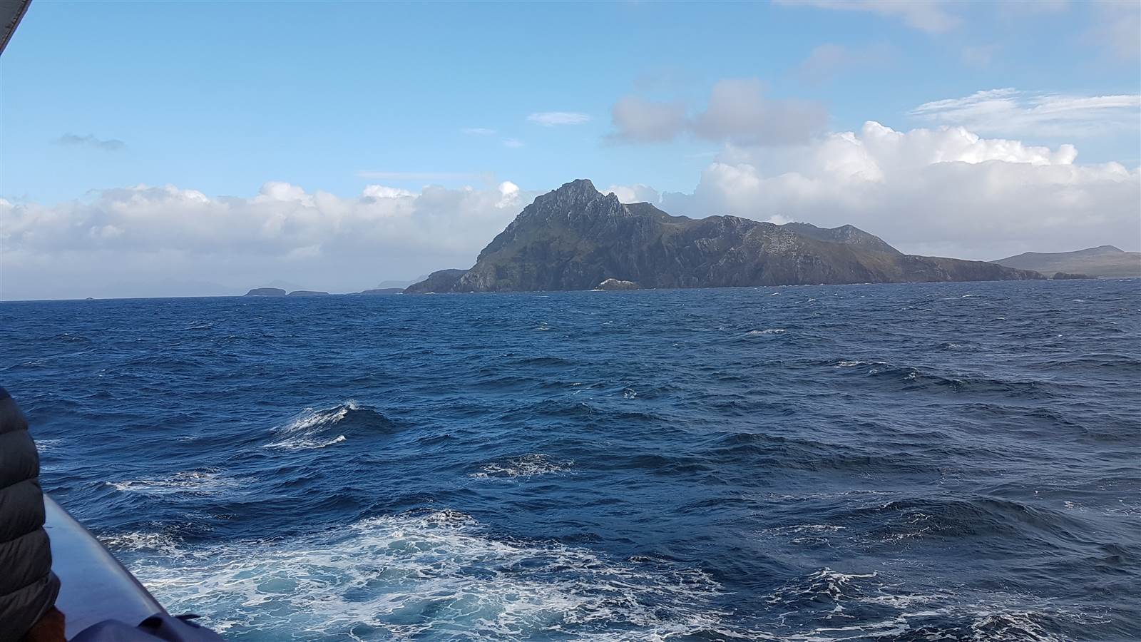
9 feb: Kaap Hoorn - Cape Horn

9 feb: Kaap Hoorn - Cape Horn

9 feb: Kaap Hoorn - Cape Horn

9 feb: Alberto de Agostini National Park

10 februari

10 februari

11 februari: English Narrows

11 februari: English Narrows
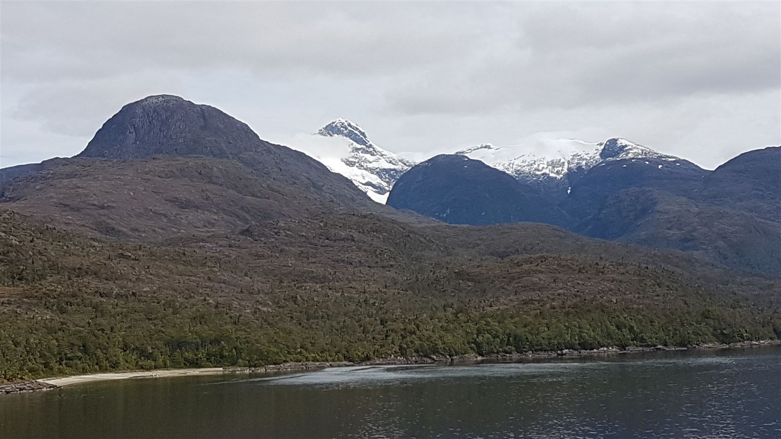
11 februari: English Narrows

11 februari: English Narrows
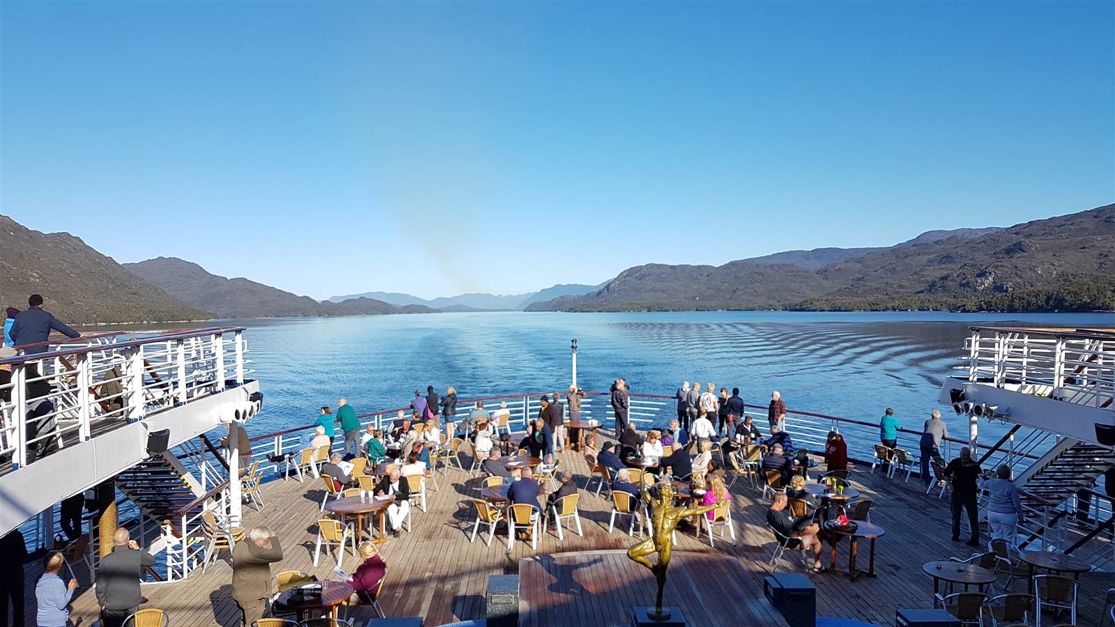
12 februari: Chilean Fjords

12 februari: Chilean Fjords